
1935 Map of Garden Island Pass
USGS Topo · Published 1935About this map
Southeast Pass and Northeast Pass carve through the shifting marshland of the Mississippi River Delta as it reaches the Gulf of Mexico. This 1935 survey captures a dynamic coastal environment defined by narrow distributary channels and expansive, shallow bays. The mapping of Old Balize Bayou and Mcale Bayou highlights the intricate network of waterways that once supported maritime activity and early settlements in the region. To the west, the label Francois Bend and the presence of Garden Island Pass indicate specific navigable points and landmarks within the delta's complex geography. The detailed depiction of Redfish Bay and North Shore Bay reflects the land-building processes and coastal erosion patterns inherent to this section of Plaquemines Parish during the mid-1930s.
Find a feature on this map
11 named features on this map. Tap any name to fly to it.
Don’t see what you’re looking for? This feature index may not catch every label — zoom into the map to look around manually.
Map Details
Editions of this 1935 Garden Island Pass Map
This is the sole edition of this map. No revisions or reprints were ever made.
Other maps of this area

1893 · East Delta
USGS Topo · 1:62,500

1935 · South Pass
USGS Topo · 1:31,680

1947 · Garden Island Pass
USGS Topo · 1:31,680

1947 · Pass A Loutre West
USGS Topo · 1:31,680

1947 · Pass A Loutre East
USGS Topo · 1:31,680
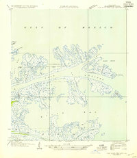
1954 · Pass A Loutre East
USGS Topo · 1:31,680
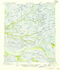
1954 · Pass A Loutre West
USGS Topo · 1:31,680
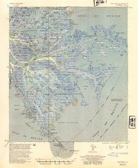
1954 · East Delta
USGS Topo · 1:62,500

1957 · Breton Sound
USGS Topo · 1:250,000
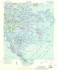
1958 · East Delta
USGS Topo · 1:62,500