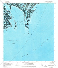
1971 Map of Garden Island Pass
USGS Topo · Published 1974About this map
The Pass A Loutre State Waterfowl Management Area dominates this early 1970s orthophotomap, showing the delicate and shifting sediment of the Mississippi River delta. This area is a complex network of wetlands and tidal channels, where Southeast Pass and Northeast Pass bifurcate at a point simply known as the Forks. The landscape reflects a dual identity of conservation and industry; while the marshlands provide habitat, the Block 6 Oil Field and scattered infrastructure like a Platform and Radio Tower indicate the active extraction economy of Plaquemines Parish.
Find a feature on this map
19 named features on this map. Tap any name to fly to it.
Don’t see what you’re looking for? This feature index may not catch every label — zoom into the map to look around manually.
Map Details
Editions of this 1971 Garden Island Pass Map
This is the sole edition of this map. No revisions or reprints were ever made.
Other maps of this area

1893 · East Delta
USGS Topo · 1:62,500

1935 · Garden Island Pass
USGS Topo · 1:31,680

1935 · South Pass
USGS Topo · 1:31,680

1947 · Garden Island Pass
USGS Topo · 1:31,680

1947 · Pass A Loutre West
USGS Topo · 1:31,680

1947 · Pass A Loutre East
USGS Topo · 1:31,680
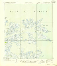
1954 · Pass A Loutre East
USGS Topo · 1:31,680
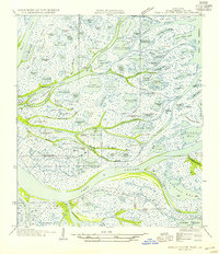
1954 · Pass A Loutre West
USGS Topo · 1:31,680
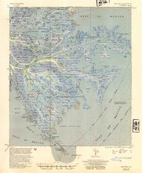
1954 · East Delta
USGS Topo · 1:62,500

1957 · Breton Sound
USGS Topo · 1:250,000