Loading...
Loading map...2024 Map of Garden Prairie
USGS Topo · Published 2024About this map
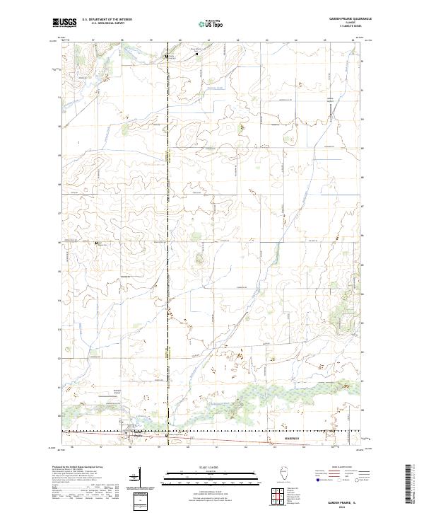
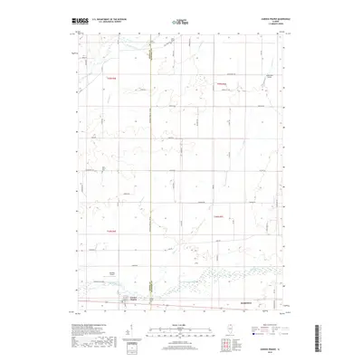
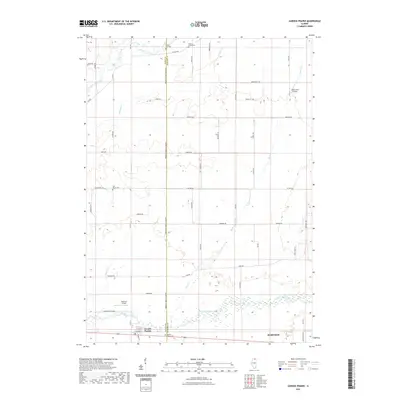
The Kishwaukee River flows through the southern section of this northern Illinois landscape, anchoring the settlement of Garden Prairie. This agricultural region is defined by a dense network of local roads such as Dunham Rd and Woodstock Rd, which follow the section lines of the original land surveys. A clear boundary is established by the Boone Co McHenry Co Line Rd, separating the two counties as it runs north-south across the quadrangle.
Find a feature on this map
56 named features on this map. Tap any name to fly to it.
Don’t see what you’re looking for? This feature index may not catch every label — zoom into the map to look around manually.
Map Details
Date Portrayed2024
Date Published2024
PublisherU.S. Geological Survey
Map TypeTopographic
Scale1:24,000
Physical Dimensions24 x 29 inches
Editions of this 2024 Garden Prairie Map
This is the sole edition of this map. No revisions or reprints were ever made.
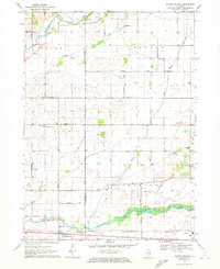
Historical Maps of Bonus Township Through Time
6 maps found
Featured Locations
Source Details
SourceU.S. Geological Survey
CopyrightPublic Domain