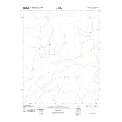
2010 Map of Garden Springs
USGS Topo · Published 2010About this map
Garden Springs sits at the heart of this Hutchinson County landscape, where the wide corridor of the Canadian River winds through the southern terrain. This region is defined by its ranching heritage and the network of drainages that feed the river system, including Johns Creek and Willow Creek flowing from the north. Large landholdings like Brainard Ranch and Morrison Ranch suggest the expansive scale of operations in the Texas Panhandle during the early 21st century. The sparse road network, featuring Brainard Rd and N River Rd, connects these isolated homesteads and seasonal sites such as Pats Creek Camp. This survey documents the persistent rural character of the area, where water sources like Reynolds Creek and Cat Creek continue to dictate the placement of local landmarks.
Find a feature on this map
16 named features on this map. Tap any name to fly to it.
Don’t see what you’re looking for? This feature index may not catch every label — zoom into the map to look around manually.
Map Details
Editions of this 2010 Garden Springs Map
This is the sole edition of this map. No revisions or reprints were ever made.
Other maps of this area

1954 · Perryton
USGS Topo · 1:250,000

1954 · Amarillo
USGS Topo · 1:250,000

1958 · Perryton
USGS Topo · 1:250,000

1958 · Amarillo
USGS Topo · 1:250,000

1971 · Dry Creek South
USGS Topo · 1:24,000

1971 · Adobe Creek SW
USGS Topo · 1:24,000

1971 · Dry Creek North
USGS Topo · 1:24,000

1971 · Garden Springs
USGS Topo · 1:24,000

1971 · Adobe Creek SE
USGS Topo · 1:24,000

1973 · Sourdough Creek SW
USGS Topo · 1:24,000