
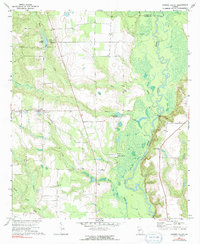
1971 Map of Garden Valley
USGS Topo · Published 1974About this map
The Flint River defines the eastern landscape of this West Georgia quadrangle, where the boundary between Taylor and Macon counties meets its winding banks. This 1970s survey captures a rural territory centered on the small settlement of Garden Valley, characterized by a network of creeks like Horse Creek and Toteover Creek that feed into the main river channel. Local agriculture and industry are represented by the presence of Hicks Millpond and Underwood Millpond, which harnessed the area's flowing waters.
Find a feature on this map
24 named features on this map. Tap any name to fly to it.
Don’t see what you’re looking for? This feature index may not catch every label — zoom into the map to look around manually.
Map Details
Editions of this 1971 Garden Valley Map
2 editions found
Other maps of this area

1955 · Phenix City
USGS Topo · 1:250,000

1956 · Fort Valley
USGS Topo · 1:62,500

1957 · Phenix City
USGS Topo · 1:250,000

1957 · Macon
USGS Topo · 1:250,000

1958 · Macon
USGS Topo · 1:250,000

1958 · Phenix City
USGS Topo · 1:250,000

1964 · Macon
USGS Topo · 1:250,000

1971 · Ideal South
USGS Topo · 1:24,000

1971 · Reynolds
USGS Topo · 1:24,000

1971 · Ideal North
USGS Topo · 1:24,000