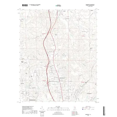
2018 Map of Gardendale
USGS Topo · Published 2018About this map
The northern suburbs of Birmingham, situated within the ridge-and-valley corridor of Jefferson County, are shown here in 2018 during a period of sustained residential and commercial development. Gardendale serves as a central hub, flanked by established communities such as Morris to the north and Fultondale to the south. The landscape is defined by the prominent Yellow Bird Mtn and a series of ridges including Bagley Ridge and Shell Ridge, which influence the winding paths of local roads and the orientation of suburban neighborhoods.
Find a feature on this map
174 named features on this map. Tap any name to fly to it.
Don’t see what you’re looking for? This feature index may not catch every label — zoom into the map to look around manually.
Map Details
Editions of this 2018 Gardendale Map
This is the sole edition of this map. No revisions or reprints were ever made.
Other maps of this area

1889 · Birmingham
USGS Topo · 1:125,000

1892 · Birmingham
USGS Topo · 1:125,000

1895 · Birmingham
USGS Topo · 1:125,000
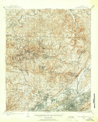
1904 · Birmingham Coal District
USGS Topo · 1:62,500

1905 · Leeds
USGS Topo · 1:62,500
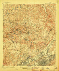
1906 · Birmingham Special
USGS Topo · 1:62,500
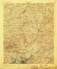
1907 · Birmingham
USGS Topo · 1:125,000
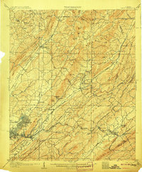
1907 · Leeds
USGS Topo · 1:62,500
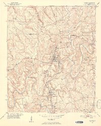
1951 · Warrior
USGS Topo · 1:24,000
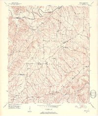
1951 · Creel
USGS Topo · 1:24,000