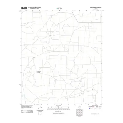
2010 Map of Gardener Draw
USGS Topo · Published 2010About this map
Gardener Draw and Big Jim Draw define the drainage patterns of this Reagan County landscape, where water management is central to the land's utility. The area is marked by a network of ranch and service roads, including Gardner Rd and Casselman Rd, which connect isolated water sources across the plains. These water sources are anchored by named landmarks such as Gardener Windmill, Two Section Windmill, and Four Corner Windmill. The map illustrates a contemporary West Texas ranching environment where the infrastructure of windmills and named lanes like Weatherby Ln and Big Jim Dr reveal the sparse but organized settlement pattern of the region in the early 21st century.
Find a feature on this map
13 named features on this map. Tap any name to fly to it.
Don’t see what you’re looking for? This feature index may not catch every label — zoom into the map to look around manually.
Map Details
Editions of this 2010 Gardener Draw Map
This is the sole edition of this map. No revisions or reprints were ever made.
Other maps of this area

1920 · Big Lake
USGS Topo · 1:62,500

1922 · Big Lake
USGS Topo · 1:62,500

1928 · Rankin
USGS Topo · 1:125,000

1954 · San Angelo
USGS Topo · 1:250,000

1958 · San Angelo
USGS Topo · 1:250,000

1965 · San Angelo
USGS Topo · 1:250,000

1970 · Stiles NW
USGS Topo · 1:24,000

1970 · Moore Hill
USGS Topo · 1:24,000

1970 · Garrison Draw
USGS Topo · 1:24,000

1970 · Gardener Draw
USGS Topo · 1:24,000