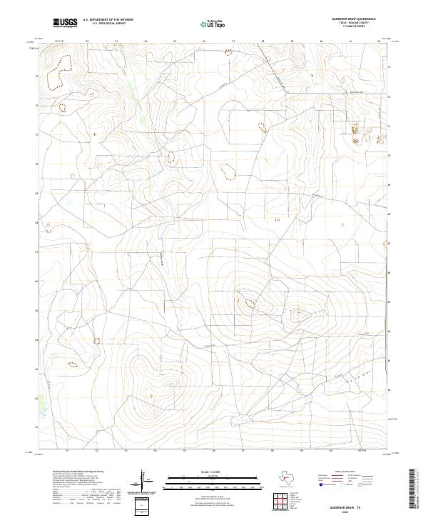
2022 Map of Gardener Draw
USGS Topo · Published 2022About this map
Gardener Draw defines the drainage patterns of this high plains section of Reagan County, where ephemeral waterways and modern ranching infrastructure shape the landscape. The map reveals a network of rural access roads and private lanes, such as Casselman Rd and Gardner Rd, which facilitate movement across the open range. In the northern reaches, Ranch Rd 1800 serves as a primary east-west corridor, connecting various holdings. To the southeast, the terrain transitions toward Big Jim Draw, illustrating the subtle topographic shifts that characterize this part of the Permian Basin region. This 2022 survey provides a contemporary perspective on the land divisions and naming conventions, including family or property-named routes like Nevel Dee Rd and Weatherby Ln.
Find a feature on this map
10 named features on this map. Tap any name to fly to it.
Don’t see what you’re looking for? This feature index may not catch every label — zoom into the map to look around manually.
Map Details
Editions of this 2022 Gardener Draw Map
This is the sole edition of this map. No revisions or reprints were ever made.
Other maps of this area

1920 · Big Lake
USGS Topo · 1:62,500

1922 · Big Lake
USGS Topo · 1:62,500

1928 · Rankin
USGS Topo · 1:125,000

1954 · San Angelo
USGS Topo · 1:250,000

1958 · San Angelo
USGS Topo · 1:250,000

1965 · San Angelo
USGS Topo · 1:250,000

1970 · Stiles NW
USGS Topo · 1:24,000

1970 · Moore Hill
USGS Topo · 1:24,000

1970 · Garrison Draw
USGS Topo · 1:24,000

1970 · Gardener Draw
USGS Topo · 1:24,000