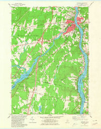
1980 Map of Gardiner
USGS Topo · Published 1980About this map
The Kennebec River corridor defines the landscape of this 1980 survey, where the concentrated urban development of Gardiner and Randolph meets the winding rural terrain of Pittston and West Gardiner. This era shows a transition in transportation, with the Maine Turnpike and its interchange at Libby Hill cutting through the western hills, while the Maine Central rail line still follows the river's edge. The map captures a detailed inventory of community landmarks, from the Hospital and Armory in the city center to numerous burial grounds such as St Josephs Cem and Maple Grove Cem. Downstream, the Colburn House State Mem stands near the shoreline, marking the area's deep-rooted history. To the west, the recreation area around Pleasant Pond and Peacock Beach State Park provides a distinct contrast to the industrial and commercial activity found along the river flats.
Find a feature on this map
88 named features on this map. Tap any name to fly to it.
Don’t see what you’re looking for? This feature index may not catch every label — zoom into the map to look around manually.
Map Details
Editions of this 1980 Gardiner Map
3 editions found
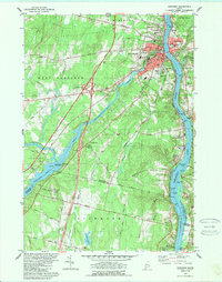
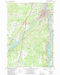
Other maps of this area

1892 · Gardiner
USGS Topo · 1:62,500

1892 · Augusta
USGS Topo · 1:62,500

1893 · Vassalboro
USGS Topo · 1:62,500

1893 · Wiscasset
USGS Topo · 1:62,500

1898 · Vassalboro
USGS Topo · 1:62,500

1941 · Vassalboro
USGS Topo · 1:62,500

1941 · Augusta
USGS Topo · 1:62,500

1943 · Augusta
USGS Topo · 1:62,500

1943 · Gardiner
USGS Topo · 1:62,500

1943 · Vassalboro
USGS Topo · 1:62,500