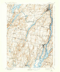
1892 Map of Gardiner
USGS Topo · Published 1938About this map
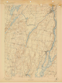
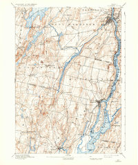
The Kennebec River corridor defines this late nineteenth-century landscape, serving as the primary artery for transport and industry between Gardiner and Bowdoinham. Along its banks, the Maine Central Railroad tracks parallel the water, connecting riverfront settlements like South Gardiner and the specialized seasonal site of Richmond Campmeeting. The interior terrain is a dense network of glacial ponds and streams, including Cobbosseecontee Pond and the uniquely named Purgatory Pond, which provided water power for early mills and sustained dispersed farming hamlets. Small agricultural hubs such as Litchfield Corners and Bowdoin Center anchor the western reaches, while the river's path is punctuated by significant landmarks like Little Swan Island and the loading points of Iceboro. This survey captures the region just as the traditional river-and-rail economy reached its peak, before modern highways altered the local navigation patterns.
Find a feature on this map
80 named features on this map. Tap any name to fly to it.
Don’t see what you’re looking for? This feature index may not catch every label — zoom into the map to look around manually.
Map Details
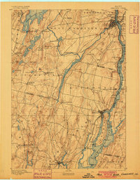
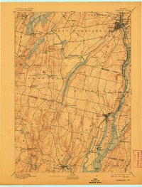
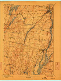
Editions of this 1892 Gardiner Map
7 editions found
Other maps of this area

1892 · Gardiner
USGS Topo · 1:62,500

1892 · Freeport
USGS Topo · 1:62,500

1892 · Augusta
USGS Topo · 1:62,500

1893 · Vassalboro
USGS Topo · 1:62,500

1893 · Wiscasset
USGS Topo · 1:62,500

1893 · Boothbay
USGS Topo · 1:62,500

1894 · Bath
USGS Topo · 1:62,500

1898 · Vassalboro
USGS Topo · 1:62,500

1908 · Lewiston
USGS Topo · 1:62,500

1910 · Livermore
USGS Topo · 1:62,500