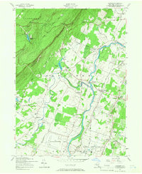
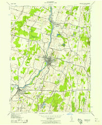
1957 Map of Gardiner
USGS Topo · Published 1966About this map
The Shawangunk Mountains rise sharply in the northwest corner of this mid-century survey, creating a dramatic backdrop for the agricultural valleys below. In the lowlands, the Wallkill River and Shawangunk Kill converge near the settlement of Ganahgote, illustrating the importance of these waterways to local development. This era shows a landscape in transition, where established rural communities like Bruynswick and New Hurley exist alongside modern infrastructure, including the Wallkill State Prison and Wright Airport. Local history is preserved through numerous family-named burial grounds such as Dubois Cem and the Bruynswick Cemetery, while the New York Central railroad corridor and the underground Catskill Aqueduct highlight the region's role as a vital transportation and utility artery serving the greater New York area.
Find a feature on this map
55 named features on this map. Tap any name to fly to it.
Don’t see what you’re looking for? This feature index may not catch every label — zoom into the map to look around manually.
Map Details
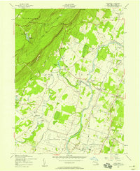
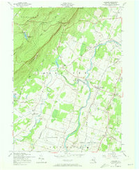
Editions of this 1957 Gardiner Map
3 editions found
Other maps of this area

1901 · Rosendale
USGS Topo · 1:62,500

1903 · Newburg
USGS Topo · 1:62,500

1903 · Rosendale
USGS Topo · 1:62,500

1903 · Slide Mountain
USGS Topo · 1:62,500

1904 · Ellenville
USGS Topo · 1:62,500

1905 · Slide Mountain
USGS Topo · 1:62,500

1906 · Ellenville
USGS Topo · 1:62,500
1942 · Rosendale
USGS Topo · 1:24,000
1942 · Walden
USGS Topo · 1:24,000

1942 · Kerhonkson
USGS Topo · 1:24,000