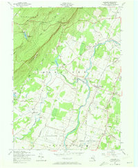
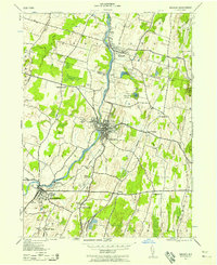
1957 Map of Gardiner
USGS Topo · Published 1973About this map
The Shawangunk Mountains dominate the northwestern landscape of this 1957 revision, where high-altitude landmarks like Wildmere House and Cliffhouse overlook Lake Minnewaska. The terrain drops sharply from these peaks into the valley of the Wallkill River, which winds northward through a network of small agricultural and residential hamlets. These settlements, including Bruynswick, Tuthill, and Ireland Corners, represent the mid-century rural character of Ulster County before significant modern suburbanization.
Find a feature on this map
54 named features on this map. Tap any name to fly to it.
Don’t see what you’re looking for? This feature index may not catch every label — zoom into the map to look around manually.
Map Details
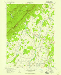
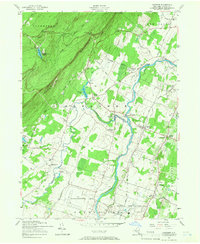
Editions of this 1957 Gardiner Map
3 editions found
Other maps of this area

1901 · Rosendale
USGS Topo · 1:62,500

1903 · Newburg
USGS Topo · 1:62,500

1903 · Rosendale
USGS Topo · 1:62,500

1903 · Slide Mountain
USGS Topo · 1:62,500

1904 · Ellenville
USGS Topo · 1:62,500

1905 · Slide Mountain
USGS Topo · 1:62,500

1906 · Ellenville
USGS Topo · 1:62,500
1942 · Rosendale
USGS Topo · 1:24,000
1942 · Walden
USGS Topo · 1:24,000

1942 · Kerhonkson
USGS Topo · 1:24,000