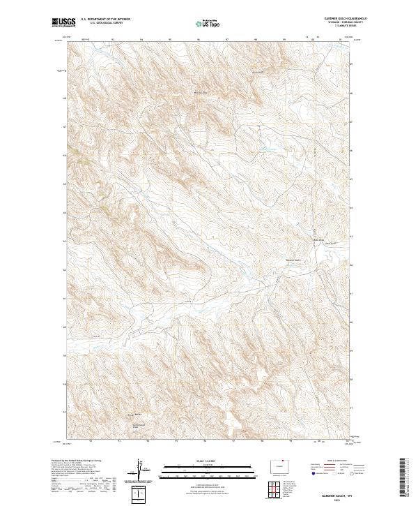
2021 Map of Gardner Gulch
USGS Topo · Published 2021About this map
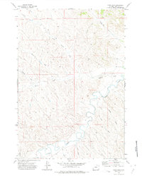
Gardner Gulch and the surrounding high plains of Sheridan County are defined by a complex network of seasonal drainages and cattle country infrastructure. This landscape is shaped by the headwaters of Buffalo Cr and the Middle Prong Hanging Woman Cr, where the terrain transitions into the distinctive Foster Buttes. The distribution of water is critical in this arid environment, evidenced by the Whedon Number 1 Reservoir and several smaller catchments like Reservoir Cr. Rural life here is traced through long-established transit corridors such as Passaic Rd and Co Rd 86, which navigate the draws and gulches. The map captures the specialized geography of Wyoming's ranching lands, where named features like Olsen Draw, Whedon Draw, and Cottonwood Draw serve as vital landmarks for navigation across the open range.
Find a feature on this map
24 named features on this map. Tap any name to fly to it.
Don’t see what you’re looking for? This feature index may not catch every label — zoom into the map to look around manually.
Map Details
Editions of this 2021 Gardner Gulch Map
This is the sole edition of this map. No revisions or reprints were ever made.
Other maps of this area

1955 · Sheridan
USGS Topo · 1:250,000

1958 · Sheridan
USGS Topo · 1:250,000

1962 · Sheridan
USGS Topo · 1:250,000
1971 · Shuler Draw
USGS Topo · 1:24,000
1971 · Clearmont
USGS Topo · 1:24,000
1971 · Roundup Draw
USGS Topo · 1:24,000

1971 · Cabin Creek NW
USGS Topo · 1:24,000

1971 · Arvada
USGS Topo · 1:24,000

1971 · Gardner Gulch
USGS Topo · 1:24,000
1971 · Fawn Draw
USGS Topo · 1:24,000