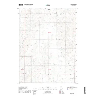
2017 Map of Gardner
USGS Topo · Published 2017About this map
Ridgeway anchors the northern boundary of this Harrison County landscape, where the terrain is defined by a dense network of creek drainages and small upland reservoirs. The local geography is etched by the meandering paths of Polecat Cr and Little Polecat Cr, which join with Sugar Cr and Trail Cr to form a complex watershed. These water sources supported a rural economy of farmsteads and small crossroads like Gardner. Cultural landmarks such as Yankee Ridge Cem provide points of interest for genealogists tracing local family histories. The landscape also features several named bodies of water including Jesse Hale Lake, Fordyce Lake, and Hallock Lake, which appear as distinct catchments amidst the agricultural grid and township lines of T64N and T63N.
Find a feature on this map
45 named features on this map. Tap any name to fly to it.
Don’t see what you’re looking for? This feature index may not catch every label — zoom into the map to look around manually.
Map Details
Editions of this 2017 Gardner Map
This is the sole edition of this map. No revisions or reprints were ever made.
Other maps of this area

1925 · Pattonsburg
USGS Topo · 1:62,500

1925 · Gilman
USGS Topo · 1:62,500

1944 · Pattonsburg
USGS Topo · 1:62,500

1946 · Gilman
USGS Topo · 1:48,000

1946 · Pattonsburg
USGS Topo · 1:48,000

1947 · Blythedale
USGS Topo · 1:62,500

1948 · Gilman
USGS Topo · 1:62,500

1948 · Bethany
USGS Topo · 1:62,500

1948 · Pattonsburg
USGS Topo · 1:62,500

1954 · Centerville
USGS Topo · 1:250,000