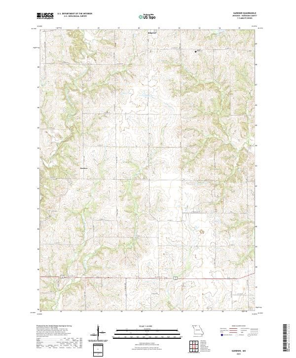
2021 Map of Gardner
USGS Topo · Published 2021About this map
Yankee Ridge Cem and the small settlement of Gardner define the rural character of this northern Missouri landscape. The terrain is deeply etched by a dense network of waterways, including the East Fork Big Creek and numerous smaller tributaries like Polecat Cr and Little Polecat Cr that wind through the agricultural sections. In the northern reaches, the town of Ridgeway anchors the map, while the surrounding countryside is dotted with several named bodies of water such as Jesse Hale Lake, Sittner Lake, and Hallock Lake. The mapping reveals a consistent grid of local routes like E 240th St and Hwy Y, providing a detailed look at the rural property boundaries and access points that have shaped Harrison County's modern development and land use patterns.
Find a feature on this map
42 named features on this map. Tap any name to fly to it.
Don’t see what you’re looking for? This feature index may not catch every label — zoom into the map to look around manually.
Map Details
Editions of this 2021 Gardner Map
This is the sole edition of this map. No revisions or reprints were ever made.
Other maps of this area

1925 · Pattonsburg
USGS Topo · 1:62,500

1925 · Gilman
USGS Topo · 1:62,500

1944 · Pattonsburg
USGS Topo · 1:62,500

1946 · Gilman
USGS Topo · 1:48,000

1946 · Pattonsburg
USGS Topo · 1:48,000

1947 · Blythedale
USGS Topo · 1:62,500

1948 · Gilman
USGS Topo · 1:62,500

1948 · Bethany
USGS Topo · 1:62,500

1948 · Pattonsburg
USGS Topo · 1:62,500

1954 · Centerville
USGS Topo · 1:250,000