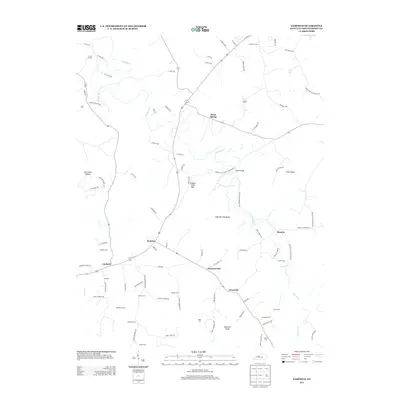
2013 Map of Garfield
USGS Topo · Published 2013About this map
Sinking Creek meanders through the central Breckinridge County landscape, anchoring a rural network of small communities and family burial grounds. The settlement at Garfield serves as a local hub along the primary transit corridor, flanked by the smaller hamlets of Hensley and Stinnettsville. The terrain is defined by prominent elevations such as High Burning Ridge and Somerset Knob, which overlook a region deeply tied to its agricultural roots and local lineage.
Find a feature on this map
87 named features on this map. Tap any name to fly to it.
Don’t see what you’re looking for? This feature index may not catch every label — zoom into the map to look around manually.
Map Details
Editions of this 2013 Garfield Map
This is the sole edition of this map. No revisions or reprints were ever made.
Other maps of this area
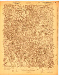
1928 · Hardinsburg
USGS Topo · 1:48,000
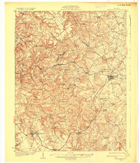
1931 · Hardinsburg
USGS Topo · 1:62,500
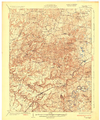
1932 · Big Clifty
USGS Topo · 1:62,500
1941 · Ekron
USGS Topo · 1:62,500
1947 · Irvington
USGS Topo · 1:24,000
1947 · Lodiburg
USGS Topo · 1:24,000
1947 · Hardinsburg
USGS Topo · 1:24,000
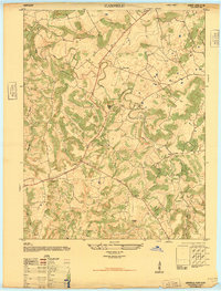
1947 · Garfield
USGS Topo · 1:24,000
1947 · Hardinsburg
USGS Topo · 1:62,500
1947 · Ekron
USGS Topo · 1:62,500