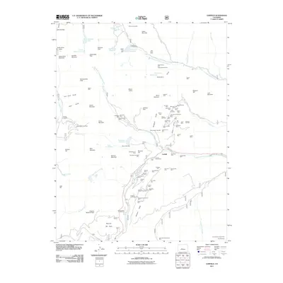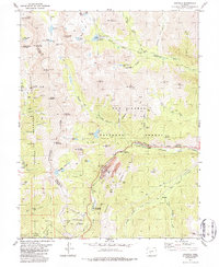
1982 Map of Garfield
USGS Topo · Published 1986About this map
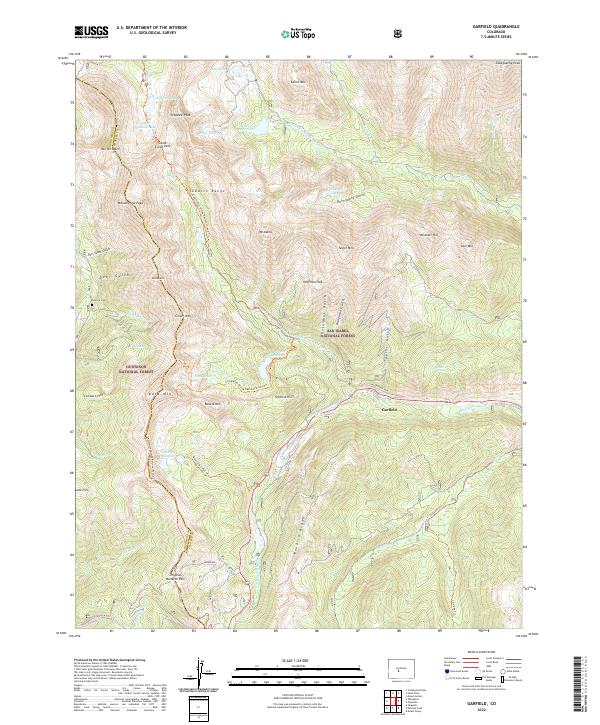
Mining operations and high-altitude transport networks define this portion of the Continental Divide as it appeared in the early 1980s. The settlement of Garfield sits at the confluence of several gulches, adjacent to the Denver and Rio Grande Western rail line and the South Arkansas River. This area is characterized by a dense concentration of mineral extraction history, from the Garfield Mine and Brittle Silver Mine to numerous unnamed shafts and Prospects. To the west, the Tomichi Cemetery serves as a silent witness to the early pioneer history of Robbins and Bonanza. The southern portion of the map is dominated by the Monarch Ski Area and the peaks of Monarch Ridge, illustrating the region's transition into a center for recreation within the San Isabel National Forest. Local water management is evident through the North Fork Reservoir, Boss Lake Reservoir, and an extensive Aqueduct system.
Find a feature on this map
71 named features on this map. Tap any name to fly to it.
Don’t see what you’re looking for? This feature index may not catch every label — zoom into the map to look around manually.
Map Details
Editions of this 1982 Garfield Map
2 editions found
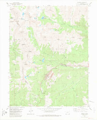
Historical Maps of Garfield Through Time
9 maps found