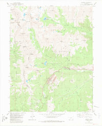
1982 Map of Garfield
USGS Topo · Published 1983About this map
High-altitude mining and recreation dominate this rugged landscape along the Continental Divide, where the border between Chaffee and Gunnison counties follows the crest of the Sawatch Range. Settled nodes like Garfield and Monarch are situated along the South Arkansas River, serving as base points for the industrial extraction visible at the Garfield Mine, Lily Mine, and various quarries. The Denver and Rio Grande Western railroad corridor provides the primary transport artery through the mountains, flanked by the San Isabel and Gunnison National Forests.
Find a feature on this map
77 named features on this map. Tap any name to fly to it.
Don’t see what you’re looking for? This feature index may not catch every label — zoom into the map to look around manually.
Map Details
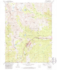
Editions of this 1982 Garfield Map
2 editions found
Other maps of this area

1940 · Garfield
USGS Topo · 1:62,500

1945 · Garfield
USGS Topo · 1:62,500

1956 · Poncha Springs
USGS Topo · 1:62,500

1956 · Montrose
USGS Topo · 1:250,000

1959 · Montrose
USGS Topo · 1:250,000

1959 · Bonanza
USGS Topo · 1:62,500

1960 · Montrose
USGS Topo · 1:250,000

1964 · Sargents
USGS Topo · 1:24,000

1967 · Pahlone Peak
USGS Topo · 1:24,000

1968 · Montrose
USGS Topo · 1:250,000