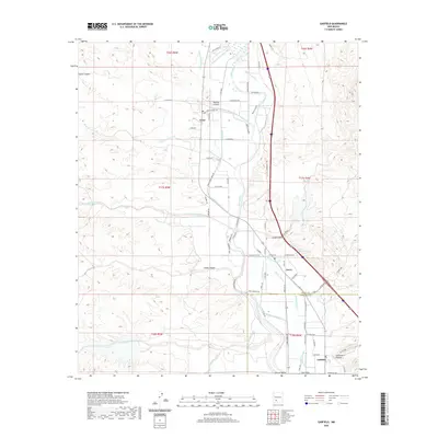
2020 Map of Garfield
USGS Topo · Published 2020About this map
The Rio Grande corridor defines this portion of the Rincon Valley, where a complex network of irrigation infrastructure supports the agricultural settlements of Arrey, Derry, and Garfield. This modern survey reveals the critical reliance on water management in the arid New Mexico landscape, tracing the paths of the Bonita Community Ditch, Arrey Canal, and Garfield Canal alongside the river's course. Local landmarks such as Arrey School Rd and Warm Spring provide specific points of interest for genealogists and local historians tracking family footprints in Sierra and Doña Ana counties. The map captures the meeting of natural features like Sibley Canyon and Montoya Arroyo with man-made developments like the Garfield Drain and Percha Lateral, illustrating the engineering required to sustain life and industry along this historic river valley.
Find a feature on this map
41 named features on this map. Tap any name to fly to it.
Don’t see what you’re looking for? This feature index may not catch every label — zoom into the map to look around manually.
Map Details
Editions of this 2020 Garfield Map
This is the sole edition of this map. No revisions or reprints were ever made.
Other maps of this area

1955 · Las Cruces
USGS Topo · 1:250,000

1958 · Las Cruces
USGS Topo · 1:250,000

1958 · Arroyo Cuervo
USGS Topo · 1:24,000

1959 · Hatch
USGS Topo · 1:24,000

1959 · Upham
USGS Topo · 1:62,500

1961 · Skute Stone Arroyo
USGS Topo · 1:24,000

1961 · Caballo
USGS Topo · 1:24,000

1961 · Nutt
USGS Topo · 1:62,500

1961 · Clark Spring Canyon
USGS Topo · 1:24,000

1961 · Garfield
USGS Topo · 1:24,000