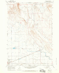
1966 Map of Garland
USGS Topo · Published 1970About this map
The Chicago Burlington and Quincy railroad corridor dictates the settlement pattern of this Big Horn Basin landscape, anchoring the towns of Powell and Garland. The era’s agricultural engineering is on full display across the Powell Flats, where an intricate grid of irrigation features like the Little Frannie Canal and Deaver Canal—along with numerous numbered laterals—transformed the arid terrain.
Find a feature on this map
49 named features on this map. Tap any name to fly to it.
Don’t see what you’re looking for? This feature index may not catch every label — zoom into the map to look around manually.
Map Details
Editions of this 1966 Garland Map
2 editions found
Other maps of this area

1955 · Cody
USGS Topo · 1:250,000

1958 · Cody
USGS Topo · 1:250,000

1962 · Cody
USGS Topo · 1:250,000

1966 · Gilmore Hill NE
USGS Topo · 1:24,000

1966 · Frannie
USGS Topo · 1:24,000

1966 · Garland
USGS Topo · 1:24,000

1966 · Elk Basin
USGS Topo · 1:24,000

1966 · Deaver Reservoir
USGS Topo · 1:24,000

1966 · Elk Basin SE
USGS Topo · 1:24,000

1966 · Gilmore Hill NW
USGS Topo · 1:24,000