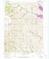
1964 Map of Garland
USGS Topo · Published 1973About this map
Garland serves as the central hub of this eastern Nebraska landscape, situated along the tracks of the Burlington Northern railroad. The map reflects a predominantly agricultural township structure, divided between the local jurisdictions of Seward and Lancaster Counties. A notable concentration of cemeteries, including Germantown Cem, Garland South Cem, Oak Grove Cem, and Trinity Cem, hints at the long-standing community foundations in this region. The terrain is defined by the winding paths of Middle Oak Creek and West Oak Creek, which feed into the developing waters of Branched Oak Lake. These waterways, alongside smaller tributaries like Pawnee Creek, dictated the placement of early infrastructure. From the Immanuel School to various quarries scattered near the creek bluffs, the map records a rural economy built on the intersection of rail transport and fertile creek valleys during the early 1970s.
Find a feature on this map
20 named features on this map. Tap any name to fly to it.
Don’t see what you’re looking for? This feature index may not catch every label — zoom into the map to look around manually.
Map Details
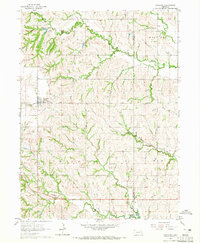
Editions of this 1964 Garland Map
2 editions found
Other maps of this area

1897 · Lincoln
USGS Topo · 1:125,000

1899 · Wahoo
USGS Topo · 1:125,000

1899 · David City
USGS Topo · 1:125,000

1934 · Seward
USGS Topo · 1:48,000

1939 · Seward
USGS Topo · 1:62,500

1955 · Fremont
USGS Topo · 1:250,000

1955 · Lincoln
USGS Topo · 1:250,000

1957 · Fremont
USGS Topo · 1:250,000

1957 · Lincoln
USGS Topo · 1:250,000

1958 · Fremont
USGS Topo · 1:250,000