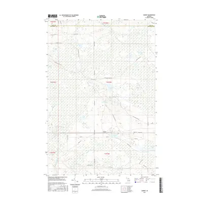
2017 Map of Garnet
USGS Topo · Published 2017About this map
Garnet serves as the primary point of settlement in this part of Mackinac County, situated along the Hiawatha Trl and Garnet Lake. The landscape is dominated by complex wetland systems and glacial water bodies, with the significant Kings Marsh and Cranberry Lake Bog defining the northern terrain. A dense network of logging and service trails, such as the Old Hendricks Truck Trl and Giddings Truck Trl, spiderwebs across the townships, indicating the importance of forest access and land management in the Upper Peninsula. To the east of the town center, the Maplewood Cem provides a genealogical touchstone for local families. The drainage patterns are clearly marked by the Black River and its various tributaries, including the E Br Black River and Borgstrom Cr, which feed into numerous small basins like Seven Lakes and Crawfin Lake.
Find a feature on this map
47 named features on this map. Tap any name to fly to it.
Don’t see what you’re looking for? This feature index may not catch every label — zoom into the map to look around manually.
Map Details
Editions of this 2017 Garnet Map
This is the sole edition of this map. No revisions or reprints were ever made.
Other maps of this area
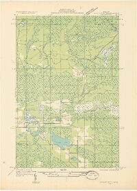
1931 · Epoufette NW
USGS Topo · 1:31,680
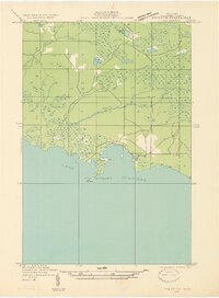
1931 · Epoufette SW
USGS Topo · 1:31,680
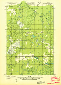
1931 · Gilchrist NE
USGS Topo · 1:31,680
1931 · Gilchrist NW
USGS Topo · 1:31,680
1951 · Hulbert
USGS Topo · 1:24,000
1951 · Eckerman
USGS Topo · 1:62,500
1954 · Sault Sainte Marie
USGS Topo · 1:250,000
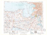
1956 · Sault Sainte Marie
USGS Topo · 1:250,000
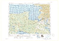
1957 · Sault Sainte Marie
USGS Topo · 1:250,000
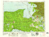
1958 · Sault Sainte Marie
USGS Topo · 1:250,000