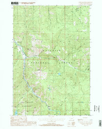
1988 Map of Garnet Mountain
USGS Topo · Published 1988About this map
Gallatin National Forest dominates this mountain landscape, where deep canyons and high ridges converge above the Gallatin River. The terrain is marked by significant vertical features such as Storm Castle and Spire Rock, and is anchored by the Garnet Mountain Lookout Tower in the center of the sheet. To the south, the protected wilderness of the Lee Metcalf Wilderness contains landmarks like Hoodoo Cascade and Lava Lake.
Find a feature on this map
36 named features on this map. Tap any name to fly to it.
Don’t see what you’re looking for? This feature index may not catch every label — zoom into the map to look around manually.
Map Details
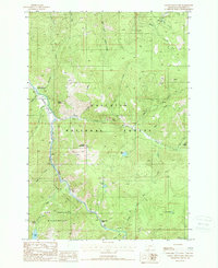
Editions of this 1988 Garnet Mountain Map
2 editions found
Other maps of this area

1888 · Three Forks
USGS Topo · 1:250,000

1894 · Three Forks
USGS Topo · 1:250,000

1895 · Three Forks
USGS Topo · 1:250,000

1947 · Bozeman
USGS Topo · 1:250,000

1948 · Bozeman
USGS Topo · 1:250,000

1949 · Anceney
USGS Topo · 1:62,500

1950 · Spanish Peaks
USGS Topo · 1:62,500

1953 · Bozeman
USGS Topo · 1:62,500

1955 · Bozeman
USGS Topo · 1:250,000

1955 · Garnet Mountain
USGS Topo · 1:62,500