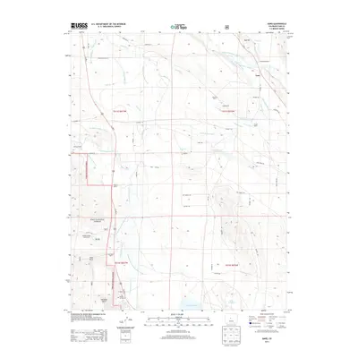
2013 Map of Garo
USGS Topo · Published 2013About this map
Garo serves as the focal point of this high-altitude landscape, where the confluence of sophisticated irrigation and ranching defines the terrain. The elaborate network of water management is evident through numerous features like the Prince Ditch, Elisha-Alden Ditch, and Nelson Ditch Number 3, which divert water from the Middle Fork South Platte River and High Creek. This intricate system reflects a long history of water rights and agricultural development in the region, supporting established holdings such as the McDowell Ranch, Cargill Ranch, and Harrington Ranch. To the southwest, the Pike National Forest boundary protects the slopes near Pole Gulch and Deadman Gulch. Local heritage is marked by the Buffalo Springs Cem and the nearby Buffalo Springs Campground, while the southern portion of the sheet is dominated by the northern reaches of the Antero Reservoir.
Find a feature on this map
59 named features on this map. Tap any name to fly to it.
Don’t see what you’re looking for? This feature index may not catch every label — zoom into the map to look around manually.
Map Details
Editions of this 2013 Garo Map
This is the sole edition of this map. No revisions or reprints were ever made.
Other maps of this area
1889 · Leadville
USGS Topo · 1:125,000
1891 · Leadville
USGS Topo · 1:125,000
1942 · Leadville
USGS Topo · 1:125,000
1953 · Denver
USGS Topo · 1:250,000
1954 · Pueblo
USGS Topo · 1:250,000
1955 · Buena Vista
USGS Topo · 1:62,500
1956 · Elkhorn
USGS Topo · 1:24,000
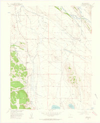
1956 · Garo
USGS Topo · 1:24,000
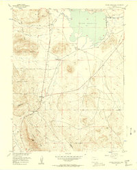
1956 · Antero Reservoir
USGS Topo · 1:24,000
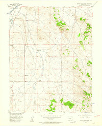
1956 · Antero Reservoir NE
USGS Topo · 1:24,000