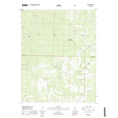
2017 Map of Garrison
USGS Topo · Published 2017About this map
The community of Garrison and the surrounding woodlands of the Mark Twain National Forest define this 2017 survey of the White River hills region. Located along the border of Christian and Taney counties, the landscape is a network of ridges and hollows, where life historically centered on the creek bottoms. Notable settlements such as Swan and Low Gap appear alongside local landmarks like Helphrey Hill and the long expanse of Garrison Ridge. Genealogists will find several burial sites preserved in these hills, including Peace Cem, Swan Cem, and Helphrey Cem. The map illustrates a modern road network following ancient topography, from State Hwy H to the winding course of Blue Creek Rd, tracing the drainages of Swan Cr and its many tributaries.
Find a feature on this map
59 named features on this map. Tap any name to fly to it.
Don’t see what you’re looking for? This feature index may not catch every label — zoom into the map to look around manually.
Map Details
Editions of this 2017 Garrison Map
This is the sole edition of this map. No revisions or reprints were ever made.
Other maps of this area

1907 · Forsyth
USGS Topo · 1:125,000

1937 · Bradleyville
USGS Topo · 1:48,000

1943 · Protem
USGS Topo · 1:62,500

1943 · Bradleyville
USGS Topo · 1:62,500

1945 · Harrison
USGS Topo · 1:250,000

1945 · Bradleyville
USGS Topo · 1:62,500

1949 · Harrison
USGS Topo · 1:250,000

1954 · Harrison
USGS Topo · 1:250,000

1955 · Garrison
USGS Topo · 1:24,000
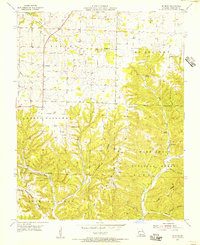
1955 · Selmore
USGS Topo · 1:24,000