2021 Map of Garrison
USGS Topo · Published 2021About this map
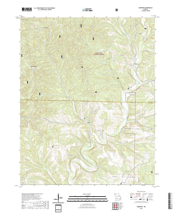
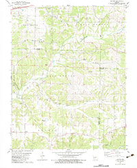
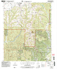
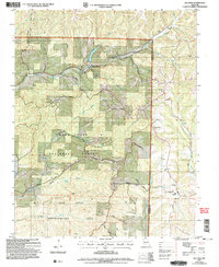
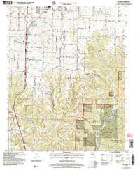
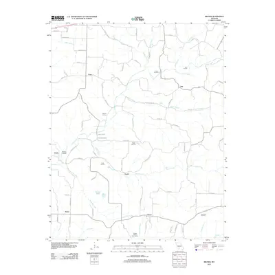
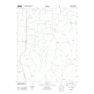
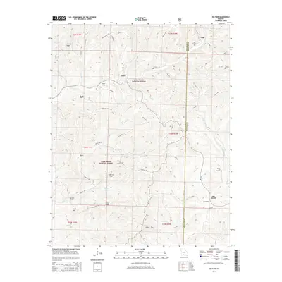
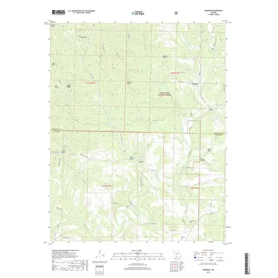
Swan and Garrison anchor this corner of the Missouri Ozarks, situated along the winding valley of Swan Creek just north of the Taney County line. The landscape is defined by its deep hollows and narrow ridges, such as Garrison Ridge and Devreaux Ridge, which cut through the western reaches of the Mark Twain National Forest. Local family names and community history are preserved in the locations of the Peace Cem, Swan Cem, and Helphrey Cem, alongside the small settlements of Low Gap and Pine Ridge. A network of secondary roads, including State Hwy H and Hodge Hollow Rd, follows the difficult terrain, connecting remote hollows like Gravelly Hollow and Surratt Hollow to the creek bottoms. The map provides a detailed view of the rural infrastructure at the edge of the national forest, where creek drainage patterns dictated the placement of farms and cemeteries.
Find a feature on this map
53 named features on this map. Tap any name to fly to it.
Don’t see what you’re looking for? This feature index may not catch every label — zoom into the map to look around manually.
Map Details
Editions of this 2021 Garrison Map
This is the sole edition of this map. No revisions or reprints were ever made.
Historical Maps of Garrison Through Time
29 maps found
1955 Chadwick
Christian County, MO
1955 Garrison
Christian County, MO
1955 Selmore
Christian County, MO
1982 Bruner
Christian County, MO

1982 Keltner
Christian County, MO
2004 Chadwick
Christian County, MO
2004 Keltner
Christian County, MO
2004 Selmore
Christian County, MO
2012 Bruner
Christian County, MO
2012 Chadwick
Christian County, MO
2012 Garrison
Christian County, MO
2012 Keltner
Christian County, MO
2012 Selmore
Christian County, MO
2015 Bruner
Christian County, MO
2015 Chadwick
Christian County, MO
2015 Garrison
Christian County, MO
2015 Keltner
Christian County, MO
2015 Selmore
Christian County, MO
2017 Bruner
Christian County, MO
2017 Chadwick
Christian County, MO
2017 Garrison
Christian County, MO
2017 Keltner
Christian County, MO
2017 Selmore
Christian County, MO
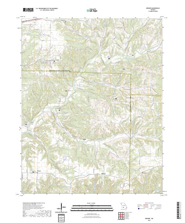
2021 Bruner
Christian County, MO
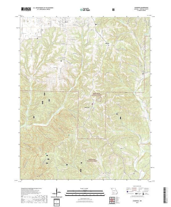
2021 Chadwick
Christian County, MO
2021 Garrison
Christian County, MO
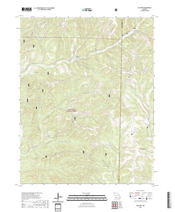
2021 Keltner
Christian County, MO
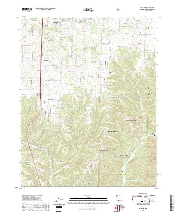
2021 Selmore
Christian County, MO
2023 Bruner
Christian County, MO