
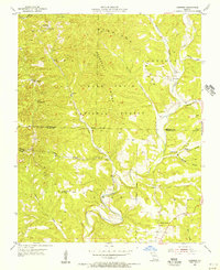
1955 Map of Garrison
USGS Topo · Published 1956About this map
Swan Creek and its many tributaries, including Barbers Creek and Surratt Creek, dominate this mid-century landscape on the border of Christian and Taney Counties. The terrain is defined by prominent ridges like Garrison Ridge and Devreaux Ridge, much of which is contained within the Mark Twain National Forest. The small settlement of Garrison serves as a local hub, while the surrounding hollows—such as Peckout Hollow and Poague Hollow—reflect the traditional Ozark settlement patterns of the 1950s.
Find a feature on this map
33 named features on this map. Tap any name to fly to it.
Don’t see what you’re looking for? This feature index may not catch every label — zoom into the map to look around manually.
Map Details
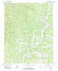
Editions of this 1955 Garrison Map
3 editions found
Other maps of this area

1907 · Forsyth
USGS Topo · 1:125,000

1937 · Bradleyville
USGS Topo · 1:48,000

1943 · Protem
USGS Topo · 1:62,500

1943 · Bradleyville
USGS Topo · 1:62,500

1945 · Harrison
USGS Topo · 1:250,000

1945 · Bradleyville
USGS Topo · 1:62,500

1949 · Harrison
USGS Topo · 1:250,000

1954 · Harrison
USGS Topo · 1:250,000
1955 · Selmore
USGS Topo · 1:24,000
1955 · Chadwick
USGS Topo · 1:24,000