Loading...
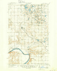
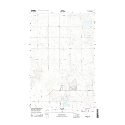
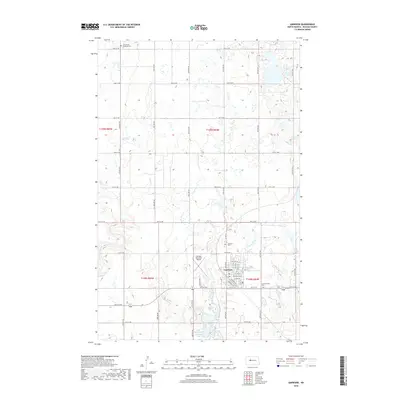
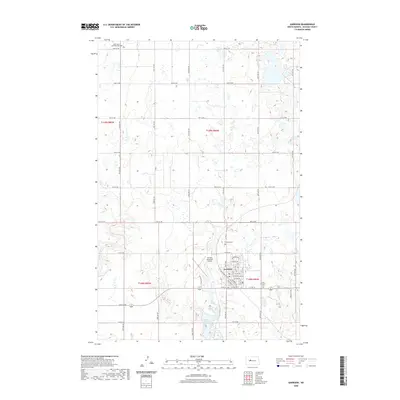
Loading map...1922 Map of Garrison
USGS Topo · Published 1950About this map
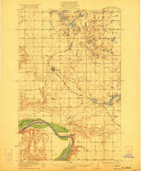
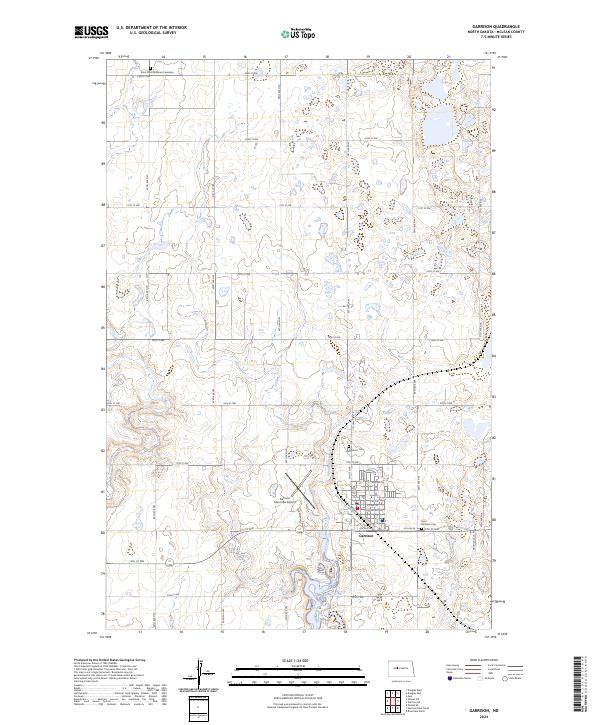
The Missouri River forms a dominant boundary in this early 20th-century landscape, separating the rugged breaks of the river valley from the plateau above. The hub of activity is Garrison, situated along the Minneapolis St Paul and Sault Ste Marie railroad, which cuts diagonally across the prairie. This rail line provided the essential link for grain and commerce, connecting the small agrarian community to wider markets.
Find a feature on this map
18 named features on this map. Tap any name to fly to it.
Don’t see what you’re looking for? This feature index may not catch every label — zoom into the map to look around manually.
Map Details
Date Portrayed1922
Date Published1950
PublisherU.S. Geological Survey
Map TypeTopographic
Scale1:62,500
Physical Dimensions16.9 x 20.8 inches
Editions of this 1922 Garrison Map
2 editions found
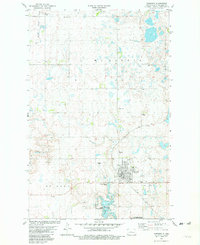
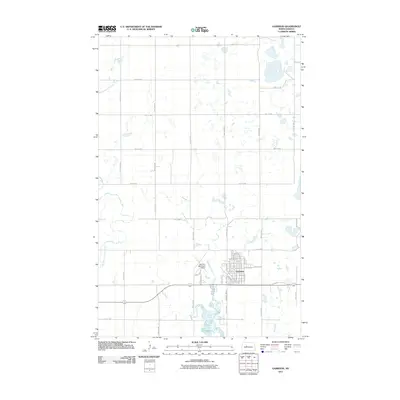
Historical Maps of Garrison Through Time
7 maps found
Featured Locations
Source Details
SourceU.S. Geological Survey
CopyrightPublic Domain