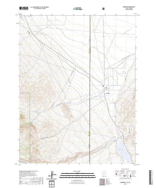
2023 Map of Garrison
USGS Topo · Published 2023About this map
The borderlands of Utah and Nevada converge at Garrison, a remote settlement situated at the base of the Burbank Hills. This 2023 survey delineates the complex water systems of the Great Basin, where Snake Creek and Lake Creek drain toward the basin floor, eventually feeding into the southern expanse of Preuss Lake. The landscape transition is marked by the rugged eastern edge of the Humboldt National Forest, which gives way to the alluvial plains bisected by numerous rural routes like Big Wash Canyon Rd and Black Rock-Chrystal Peak Rd.
Find a feature on this map
21 named features on this map. Tap any name to fly to it.
Don’t see what you’re looking for? This feature index may not catch every label — zoom into the map to look around manually.
Map Details
Editions of this 2023 Garrison Map
This is the sole edition of this map. No revisions or reprints were ever made.
Other maps of this area

1908 · Fish Springs
USGS Topo · 1:250,000

1910 · Fish Springs
USGS Topo · 1:250,000

1949 · Garrison
USGS Topo · 1:62,500

1951 · Garrison
USGS Topo · 1:62,500

1953 · Richfield
USGS Topo · 1:250,000

1953 · Delta
USGS Topo · 1:250,000

1956 · Lund
USGS Topo · 1:250,000

1956 · Ely
USGS Topo · 1:250,000

1958 · Richfield
USGS Topo · 1:250,000

1958 · Delta
USGS Topo · 1:250,000