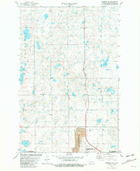
1981 Map of Garrison NE
USGS Topo · Published 1982About this map
Glacial potholes and small wetlands dominate this landscape in McLean County during the early 1980s. The region exhibits a distinct transition from agricultural prairie to industrial and conservation land uses, particularly in the southern portions of the quadrangle. The presence of the Strip Mine and various Gravel Pits reflects the local extraction economy, while the Custer Mine State Wildlife Management Area shows the reclamation of former mining sites for conservation purposes. For those researching local heritage, the map identifies small, isolated burial sites like German Congregational Cem and Emmanuel Cem, which serve as quiet markers of the early prairie congregations and settler families in this part of North Dakota. Large swaths of protected land, including the De Trobriand State Wildlife Management Area and Audubon State Wildlife Management Area, define the southern boundary.
Find a feature on this map
10 named features on this map. Tap any name to fly to it.
Don’t see what you’re looking for? This feature index may not catch every label — zoom into the map to look around manually.
Map Details
Editions of this 1981 Garrison NE Map
This is the sole edition of this map. No revisions or reprints were ever made.
Other maps of this area

1922 · Garrison
USGS Topo · 1:62,500

1929 · Coleharbor
USGS Topo · 1:62,500

1929 · Benedict
USGS Topo · 1:62,500

1954 · McClusky
USGS Topo · 1:250,000

1958 · McClusky
USGS Topo · 1:250,000
1972 · Garrison Dam North
USGS Topo · 1:24,000
1972 · Coleharbor
USGS Topo · 1:24,000
1972 · Riverdale North
USGS Topo · 1:24,000
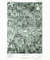
1974 · Garrison NW
USGS Topo · 1:24,000
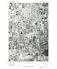
1974 · Benedict SW
USGS Topo · 1:24,000