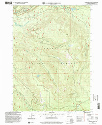
1998 Map of Garwood Butte
USGS Topo · Published 2000About this map
Garwood Butte rises as a central landmark within this high-elevation landscape of the Umpqua National Forest and Rogue River National Forest. The late 1990s terrain is defined by its complex drainage network, where the Clearwater River and tributaries like Watson Creek and Rough Creek carve through the timberland. Cultural features are primarily linked to forest management and resource extraction, evidenced by numerous Quarry sites and the Gaging Station along the river. Pockets of open space such as Dog Prairie and Skookum Prairie offer a break from the dense drainages of Devils Canyon. Recreational and historical markers like Old Man Camp and the scenic Whitehorse Falls suggest the area's long-standing use for backcountry access and transit, while water bodies like Skookum Lake and Three Lakes provide focal points for those tracing the wilderness topography of Douglas County.
Find a feature on this map
28 named features on this map. Tap any name to fly to it.
Don’t see what you’re looking for? This feature index may not catch every label — zoom into the map to look around manually.
Map Details
Editions of this 1998 Garwood Butte Map
This is the sole edition of this map. No revisions or reprints were ever made.
Other maps of this area

1917 · Diamond Lake
USGS Topo · 1:125,000

1956 · Toketee Falls
USGS Topo · 1:62,500

1956 · Diamond Lake
USGS Topo · 1:62,500

1956 · Summit Lake
USGS Topo · 1:62,500

1956 · Garwood Butte
USGS Topo · 1:62,500

1958 · Roseburg
USGS Topo · 1:250,000

1959 · Roseburg
USGS Topo · 1:250,000

1978 · Diamond Lake
USGS Topo · 1:100,000
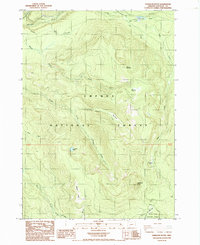
1985 · Garwood Butte
USGS Topo · 1:24,000
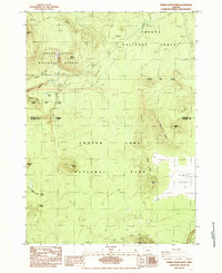
1985 · Pumice Desert West
USGS Topo · 1:24,000