
1964 Map of Gary
USGS Topo · Published 1966About this map
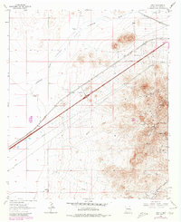
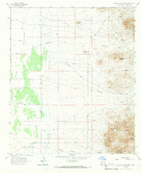
The Southern Pacific railroad corridor and the historic Butterfield Trail dominate this high-desert landscape in the mid-1960s. This survey captures a significant intersection of transportation history, where the nineteenth-century stagecoach route and the transcontinental rail line traverse the Tobosa Flats. The eastern edge of the map reveals a concentrated mining district in the Pyramid Mountains, featuring operations such as the Anita Mine, Banner Mine, and the Misers Chest Mine.
Find a feature on this map
35 named features on this map. Tap any name to fly to it.
Don’t see what you’re looking for? This feature index may not catch every label — zoom into the map to look around manually.
Map Details
Editions of this 1964 Gary Map
2 editions found
Other maps of this area

1954 · Silver City
USGS Topo · 1:250,000

1958 · Silver City
USGS Topo · 1:250,000

1962 · Silver City
USGS Topo · 1:250,000

1963 · Lordsburg
USGS Topo · 1:24,000

1963 · Culberson Ranch
USGS Topo · 1:24,000

1964 · Pyramid Peak
USGS Topo · 1:24,000
1964 · Summit
USGS Topo · 1:24,000
1964 · Mondel
USGS Topo · 1:24,000
1964 · Ninemile Hill
USGS Topo · 1:24,000
1965 · Swallow Fork Peak
USGS Topo · 1:24,000