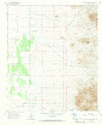
1965 Map of Swallow Fork Peak
USGS Topo · Published 1966About this map
Swallow Fork Peak and the Leitendorf Hills dominate this high-desert landscape in southwestern New Mexico during the mid-1960s. The region is defined by a critical reliance on water infrastructure, evidenced by the numerous isolated Wells, Hot Wells, and named catchments like CCC Tank and Goat Camp Tank. These features suggest a landscape primarily utilized for ranching and resource extraction, connected by the unpaved corridor of Animas Road.
Find a feature on this map
27 named features on this map. Tap any name to fly to it.
Don’t see what you’re looking for? This feature index may not catch every label — zoom into the map to look around manually.
Map Details
Editions of this 1965 Swallow Fork Peak Map
2 editions found
Other maps of this area

1954 · Silver City
USGS Topo · 1:250,000

1958 · Silver City
USGS Topo · 1:250,000

1962 · Silver City
USGS Topo · 1:250,000

1963 · Lordsburg
USGS Topo · 1:24,000
1964 · South Pyramid Peak
USGS Topo · 1:24,000

1964 · Pyramid Peak
USGS Topo · 1:24,000
1964 · Table Top Mountain
USGS Topo · 1:24,000
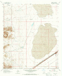
1964 · Mondel
USGS Topo · 1:24,000

1964 · Gary
USGS Topo · 1:24,000
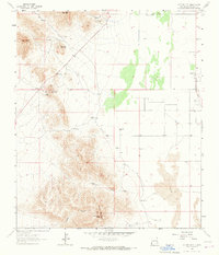
1964 · Cotton City
USGS Topo · 1:24,000