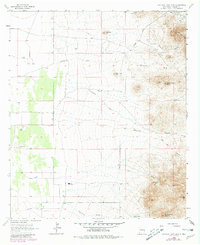
1965 Map of Swallow Fork Peak
USGS Topo · Published 1980About this map
Swallow Fork Peak rises as a prominent landmark in this 1965 survey of the Hidalgo County high desert, an area defined by sharp relief and ephemeral watercourses. To the north and east, the Leitendorf Hills and Wildcat Canyon break the horizon, while the southwestern corner is dominated by the volcanic forms of Goat Mtn, Mexican Hat, and the northern reaches of Lightning Dock Mountain. The landscape is a network of arid drainage patterns including Mansfield Wash and Hampton Draw, which cut through the sloping terrain toward the Animas Valley.
Find a feature on this map
23 named features on this map. Tap any name to fly to it.
Don’t see what you’re looking for? This feature index may not catch every label — zoom into the map to look around manually.
Map Details
Editions of this 1965 Swallow Fork Peak Map
2 editions found
Other maps of this area

1954 · Silver City
USGS Topo · 1:250,000

1958 · Silver City
USGS Topo · 1:250,000

1962 · Silver City
USGS Topo · 1:250,000

1963 · Lordsburg
USGS Topo · 1:24,000
1964 · South Pyramid Peak
USGS Topo · 1:24,000

1964 · Pyramid Peak
USGS Topo · 1:24,000
1964 · Table Top Mountain
USGS Topo · 1:24,000
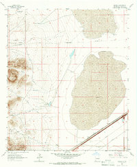
1964 · Mondel
USGS Topo · 1:24,000

1964 · Gary
USGS Topo · 1:24,000
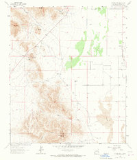
1964 · Cotton City
USGS Topo · 1:24,000