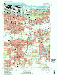
1991 Map of Gary
USGS Topo · Published 1991About this map
Gary's industrial and residential grid meets the shoreline of Lake Michigan in this detailed 1991 revision. The landscape is defined by the heavy infrastructure of the Indiana Dunes National Lakeshore and the Gary Harbor, showing the complex relationship between lakefront preservation and the massive steel-era industrial footprint. Transportation corridors including Interstate 90 and the Tri-State Highway bisect established neighborhoods like Tolleston and Aetna, while an old railroad grade traces the southern bend of the Little Calumet River. In the southern reaches, the map documents the suburban growth of Merrillville and Hobart around local landmarks like Lake George and the Salvatorian Fathers Monastery. Genealogists will find high value in the density of institutions, from the Oak Hill Cemetery to numerous parish schools such as SS Peter and Paul Sch.
Find a feature on this map
88 named features on this map. Tap any name to fly to it.
Don’t see what you’re looking for? This feature index may not catch every label — zoom into the map to look around manually.
Map Details
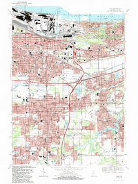
Editions of this 1991 Gary Map
2 editions found
Other maps of this area

1900 · Toleston
USGS Topo · 1:62,500

1934 · Porter
USGS Topo · 1:48,000

1940 · Porter
USGS Topo · 1:62,500

1953 · St. John
USGS Topo · 1:24,000

1953 · Palmer
USGS Topo · 1:24,000

1953 · Gary
USGS Topo · 1:24,000

1953 · Crown Point
USGS Topo · 1:24,000
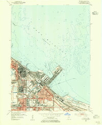
1953 · Whiting
USGS Topo · 1:24,000

1953 · Garyton
USGS Topo · 1:24,000

1953 · Ogden Dunes
USGS Topo · 1:24,000