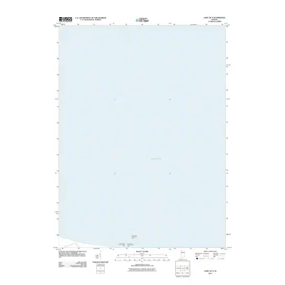
2011 Map of Gary OE N
USGS Topo · Published 2011About this map
The vast expanse of Lake Michigan dominates this coastal survey, focusing on the industrial and navigational approaches to the Indiana shoreline during the early 21st century. The map serves as a specific record of maritime infrastructure, highlighting critical aids to navigation that guide vessels into the heavy industrial ports of the region. Three primary beacons are identified along the southern reaches of the lake: the Gary Harbor Breakwater Light, the Gary Harbor West Pierhead Light, and the Gary Harbor East Pierhead Light. These markers represent the intersection of Great Lakes shipping routes and the steel-producing heart of the Calumet region, providing a clear view of the harbor's protective structural layout as it stood in 2011.
Find a feature on this map
7 named features on this map. Tap any name to fly to it.
Don’t see what you’re looking for? This feature index may not catch every label — zoom into the map to look around manually.
Map Details
Editions of this 2011 Gary OE N Map
This is the sole edition of this map. No revisions or reprints were ever made.
Other maps of this area

1900 · Toleston
USGS Topo · 1:62,500

1934 · Porter
USGS Topo · 1:48,000

1940 · Porter
USGS Topo · 1:62,500

1953 · Gary
USGS Topo · 1:24,000
1953 · Whiting
USGS Topo · 1:24,000

1953 · Garyton
USGS Topo · 1:24,000

1953 · Ogden Dunes
USGS Topo · 1:24,000
1953 · Highland
USGS Topo · 1:24,000

1953 · Chicago
USGS Topo · 1:250,000

1957 · Chicago
USGS Topo · 1:250,000