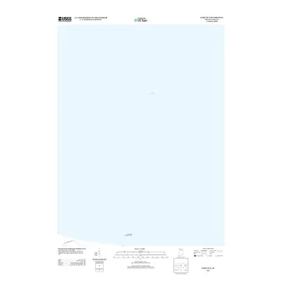
2013 Map of Gary OE N
USGS Topo · Published 2013About this map
Lake Michigan dominates this specific coastal perspective, focusing on the aquatic approach to the industrial heart of northwest Indiana. The map is primarily an expanse of water, punctuated by the Gary Harbor Breakwater Light at the bottom of the sheet, marking the entrance to the industrial harbor. A small fragment of the shoreline appears at the very southern edge, indicating the presence of Access Road Ej and E which serves the lakeside infrastructure. This layout emphasizes the navigational and maritime significance of the lakefront to the nearby city, showing the deep-water territory just off the coast where shipping lanes converge toward the steel and shipping hubs of the region.
Find a feature on this map
3 named features on this map. Tap any name to fly to it.
Don’t see what you’re looking for? This feature index may not catch every label — zoom into the map to look around manually.
Map Details
Editions of this 2013 Gary OE N Map
This is the sole edition of this map. No revisions or reprints were ever made.
Other maps of this area

1900 · Toleston
USGS Topo · 1:62,500

1934 · Porter
USGS Topo · 1:48,000

1940 · Porter
USGS Topo · 1:62,500

1953 · Gary
USGS Topo · 1:24,000
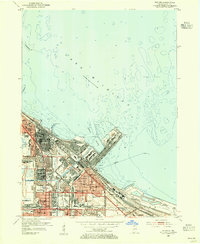
1953 · Whiting
USGS Topo · 1:24,000

1953 · Garyton
USGS Topo · 1:24,000

1953 · Ogden Dunes
USGS Topo · 1:24,000
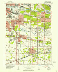
1953 · Highland
USGS Topo · 1:24,000

1953 · Chicago
USGS Topo · 1:250,000

1957 · Chicago
USGS Topo · 1:250,000