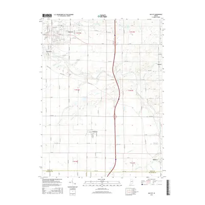
2016 Map of Gas City
USGS Topo · Published 2016About this map
The Mississinewa River winds through the heart of Grant County, anchoring a landscape defined by small-town Indiana industry and a complex network of agricultural drainage. Gas City and Jonesboro dominate the northwest, where a dense grid of streets like Walnut Dr and Virgil Dr transitions into the expansive farmland of the eastern and southern reaches. Local heritage is preserved at sites like Riverside Cem and Walnut Creek Cem, while smaller settlements such as Fowlerton and Matthews punctuate the rural sections. The map reveals the extensive engineering of the local watershed, featuring numerous named waterways including Galatia Ditch, Fowler Ditch, and Hoppas Ditch which support the surrounding fields. Near the eastern edge, Sports Lake and Upland provide further orientation for this well-settled portion of the Indiana interior.
Find a feature on this map
135 named features on this map. Tap any name to fly to it.
Don’t see what you’re looking for? This feature index may not catch every label — zoom into the map to look around manually.
Map Details
Editions of this 2016 Gas City Map
This is the sole edition of this map. No revisions or reprints were ever made.
Other maps of this area

1953 · Muncie
USGS Topo · 1:250,000

1956 · Muncie
USGS Topo · 1:250,000

1960 · Alexandria
USGS Topo · 1:24,000

1960 · Wheeling
USGS Topo · 1:24,000

1960 · Fairmount
USGS Topo · 1:24,000

1960 · Gas City
USGS Topo · 1:24,000

1960 · Gaston
USGS Topo · 1:24,000

1960 · Hartford City West
USGS Topo · 1:24,000

1961 · Marion
USGS Topo · 1:24,000

1962 · Roll
USGS Topo · 1:24,000