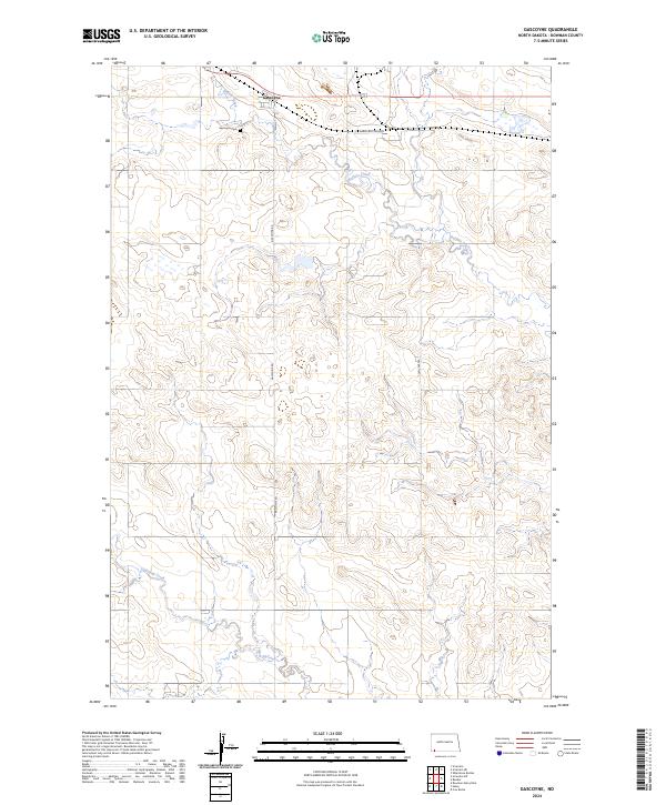
2024 Map of Gascoyne
USGS Topo · Published 2024About this map
Gascoyne serves as the focal point for this Bowman County landscape, situated along the northern reach of the map. The settlement is defined by its grid, featuring Main St and the nearby Gascoyne Cem, providing a clear view of the town's spatial footprint. To the east, the industrial presence of American Colloid points to the region's mineral extraction history, specifically the mining of bentonite clay which has long shaped the local economy. The terrain is drained by the winding courses of Buffalo Creek in the north and Lightning Creek in the southwest. These watercourses cut through the prairie, which is otherwise marked by a sparse network of section roads like Gascoyne Rd and 728th Ave SW, illustrating the vast, agricultural township structure typical of western North Dakota.
Find a feature on this map
15 named features on this map. Tap any name to fly to it.
Don’t see what you’re looking for? This feature index may not catch every label — zoom into the map to look around manually.
Map Details
Editions of this 2024 Gascoyne Map
This is the sole edition of this map. No revisions or reprints were ever made.
Other maps of this area

1935 · Reva
USGS Topo · 1:125,000

1953 · Dickinson
USGS Topo · 1:250,000

1954 · Lemmon
USGS Topo · 1:250,000

1957 · Dickinson
USGS Topo · 1:250,000

1957 · Lemmon
USGS Topo · 1:250,000

1968 · Haley
USGS Topo · 1:24,000

1968 · Bowman-Haley Dam
USGS Topo · 1:24,000

1969 · Scranton
USGS Topo · 1:24,000

1969 · Gascoyne
USGS Topo · 1:24,000

1969 · Reeder
USGS Topo · 1:24,000