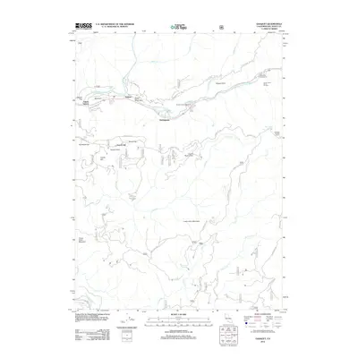
2012 Map of Gasquet
USGS Topo · Published 2012About this map
The confluence of the N Fork Smith River and the Middle Fork Smith River serves as the hub for the settlement of Gasquet, which grew along the vital transportation corridor of the Old Gasquet Toll Rd. This 2012 study details a landscape defined by historic transit and resource extraction, notably the French Placer Canal and Tyson Mine Rd near French Hill. The area's legacy of forestry and fire management is anchored by the Camp Six Lookout Tower and the Gasquet District Ranger Office. Away from the main settlements of Darlingtonia and Adams Station, the terrain rises toward Craigs Creek Mountain and Lower Coon Mountain, with numerous Forest Service routes like French Hill Rd and Big Flat Rd providing access to the river flats at Humboldt Flat and Pappas Flat.
Find a feature on this map
64 named features on this map. Tap any name to fly to it.
Don’t see what you’re looking for? This feature index may not catch every label — zoom into the map to look around manually.
Map Details
Editions of this 2012 Gasquet Map
This is the sole edition of this map. No revisions or reprints were ever made.
Other maps of this area

1922 · Preston Peak
USGS Topo · 1:125,000

1929 · Crescent City
USGS Topo · 1:125,000

1945 · Ship Mountain
USGS Topo · 1:62,500

1945 · Gasquet
USGS Topo · 1:62,500

1945 · Point St. George
USGS Topo · 1:62,500

1945 · Requa
USGS Topo · 1:62,500

1948 · Weed
USGS Topo · 1:250,000

1949 · Eureka
USGS Topo · 1:250,000

1950 · Weed
USGS Topo · 1:250,000

1951 · Gasquet
USGS Topo · 1:62,500