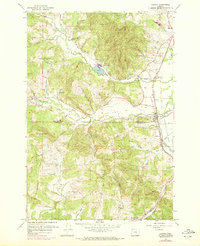
1956 Map of Gaston
USGS Topo · Published 1972About this map
The Tualatin River corridor defines this mid-century landscape where agricultural valleys meet the rising slopes of Mt Richmond. The industrial footprint of the timber industry is evident at Stimson Mill, which sits adjacent to a prominent Millpond. Near the town of Gaston, the map records the extensive Wapato Lake Bed, a significant hydrological feature drained by the Wapato Ditch and Wapato Creek. This terrain, once heavy with seasonal water, shows the transition toward reclaimed land for farming.
Find a feature on this map
31 named features on this map. Tap any name to fly to it.
Don’t see what you’re looking for? This feature index may not catch every label — zoom into the map to look around manually.
Map Details
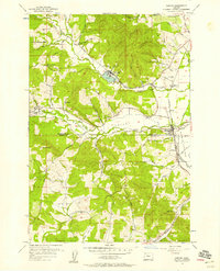
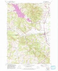
Editions of this 1956 Gaston Map
3 editions found
Other maps of this area

1941 · Timber
USGS Topo · 1:62,500

1941 · Gales Creek
USGS Topo · 1:62,500

1941 · Yamhill
USGS Topo · 1:62,500

1942 · Yamhill
USGS Topo · 1:62,500

1942 · Fairdale
USGS Topo · 1:62,500

1948 · Vancouver
USGS Topo · 1:250,000

1950 · Vancouver
USGS Topo · 1:250,000

1950 · Vancouver
USGS Topo · 1:250,000

1955 · Timber
USGS Topo · 1:62,500

1955 · Fairdale
USGS Topo · 1:62,500