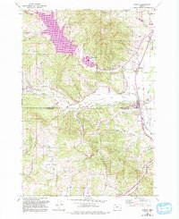
1956 Map of Gaston
USGS Topo · Published 1992About this map
Henry Hagg Lake dominates the northwest corner of this landscape, a significant reservoir formed by the damming of Scoggins Creek. Below the dam, the terrain transitions into the broad, agricultural expanse of Patton Valley, where the Tualatin River meanders toward the town of Gaston. This area preserves the footprint of the Southern Pacific railroad corridor, which historically linked small settlements like Dilley, Seghers, and Patton. The map captures a transition in land use, from the industrial presence of the Stimson Mill to the reclaimed agricultural land of the Wapato Lake Bed at the Washington and Yamhill County line.
Find a feature on this map
39 named features on this map. Tap any name to fly to it.
Don’t see what you’re looking for? This feature index may not catch every label — zoom into the map to look around manually.
Map Details
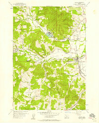
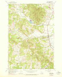
Editions of this 1956 Gaston Map
3 editions found
Other maps of this area

1941 · Timber
USGS Topo · 1:62,500

1941 · Gales Creek
USGS Topo · 1:62,500

1941 · Yamhill
USGS Topo · 1:62,500

1942 · Yamhill
USGS Topo · 1:62,500

1942 · Fairdale
USGS Topo · 1:62,500

1948 · Vancouver
USGS Topo · 1:250,000

1950 · Vancouver
USGS Topo · 1:250,000

1950 · Vancouver
USGS Topo · 1:250,000

1955 · Timber
USGS Topo · 1:62,500

1955 · Fairdale
USGS Topo · 1:62,500