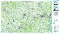
1991 Map of Gastonia
USGS Topo · Published 1991About this map
Kings Mountain National Military Park and Kings Mountain State Park anchor the center of this 1991 landscape, preserving the site of a pivotal Revolutionary War battle amidst the rising industrial corridor of the Piedmont. The map documents a complex network of manufacturing and textile towns, including Gastonia, Shelby, and Gaffney, connected by major transit routes like Interstate 85 and the Southern Railway.
Find a feature on this map
163 named features on this map. Tap any name to fly to it.
Don’t see what you’re looking for? This feature index may not catch every label — zoom into the map to look around manually.
Map Details
Editions of this 1991 Gastonia Map
This is the sole edition of this map. No revisions or reprints were ever made.
Other maps of this area

1893 · Statesville
USGS Topo · 1:125,000

1895 · Hickory
USGS Topo · 1:125,000

1900 · Mount Mitchell
USGS Topo · 1:125,000

1902 · Mount Mitchell
USGS Topo · 1:125,000
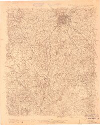
1905 · Charlotte
USGS Topo · 1:48,000
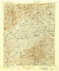
1905 · Morganton
USGS Topo · 1:125,000
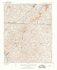
1906 · Kings Mountain
USGS Topo · 1:62,500
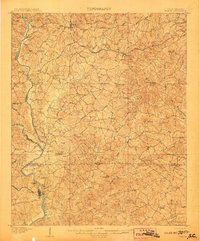
1907 · Sharon
USGS Topo · 1:62,500

1907 · Saluda
USGS Topo · 1:125,000
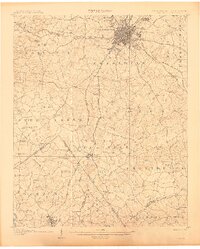
1907 · Charlotte
USGS Topo · 1:62,500