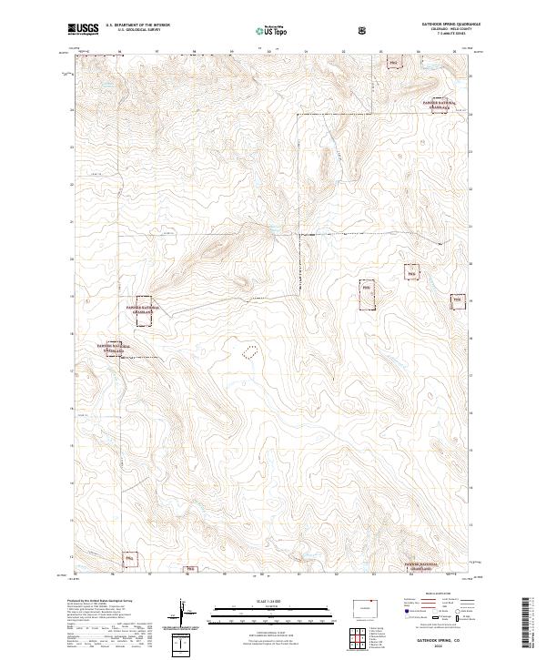
2022 Map of Gatehook Spring
USGS Topo · Published 2022About this map
Pawnee National Grassland dominates this section of Weld County, characterized by a complex network of intermittent drainages and isolated water sources. The landscape is defined by its seasonal hydrology, with Spring Cr and Horsetail Cr cutting through the northern reaches, while Cottonwood Cr and N Pawnee Cr anchor the central and southern portions of the quadrangle. These watercourses, along with Gatehook Spring and Hightower Spring, were historically vital in an arid region where reliable water dictated the patterns of ranching and early settlement.
Find a feature on this map
22 named features on this map. Tap any name to fly to it.
Don’t see what you’re looking for? This feature index may not catch every label — zoom into the map to look around manually.
Map Details
Editions of this 2022 Gatehook Spring Map
This is the sole edition of this map. No revisions or reprints were ever made.
Other maps of this area

1954 · Sterling
USGS Topo · 1:250,000

1958 · Sterling
USGS Topo · 1:250,000
1977 · Pawnee Buttes
USGS Topo · 1:24,000
1977 · Vim School
USGS Topo · 1:24,000
1977 · Raymer NW
USGS Topo · 1:24,000
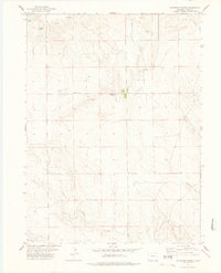
1977 · Gatehook Spring
USGS Topo · 1:24,000
1977 · Battle Canyon
USGS Topo · 1:24,000
1977 · Dolan Spring
USGS Topo · 1:24,000

1977 · Raymer NE
USGS Topo · 1:24,000

1978 · Stoneham NW
USGS Topo · 1:24,000