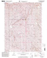
1997 Map of Gatehook Spring
USGS Topo · Published 2000About this map
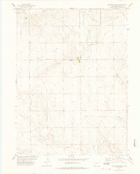
Pawnee National Grassland dominates the landscape of north-central Weld County in this late-twentieth-century revision. The terrain is defined by a network of drainage systems, most notably North Pawnee Creek and Cottonwood Creek, which flow through the high plains environment. The map documents a sparse but functional infrastructure tailored to the needs of ranching and national defense. Local education is represented by the Midway School, while several springs like Gatehook Spring and Razor Spring highlight the essential nature of water sources in this arid region. A notable Cold War era legacy is visible with the inclusion of a Missile Site located near the center of the township. This survey illustrates how the land was managed for public grazing and strategic utility, marked by a pervasive system of pipelines and numerous water tanks.
Find a feature on this map
11 named features on this map. Tap any name to fly to it.
Don’t see what you’re looking for? This feature index may not catch every label — zoom into the map to look around manually.
Map Details
Editions of this 1997 Gatehook Spring Map
This is the sole edition of this map. No revisions or reprints were ever made.
Other maps of this area

1954 · Sterling
USGS Topo · 1:250,000

1958 · Sterling
USGS Topo · 1:250,000
1977 · Pawnee Buttes
USGS Topo · 1:24,000
1977 · Vim School
USGS Topo · 1:24,000
1977 · Raymer NW
USGS Topo · 1:24,000
1977 · Gatehook Spring
USGS Topo · 1:24,000
1977 · Battle Canyon
USGS Topo · 1:24,000
1977 · Dolan Spring
USGS Topo · 1:24,000

1977 · Raymer NE
USGS Topo · 1:24,000

1978 · Stoneham NW
USGS Topo · 1:24,000