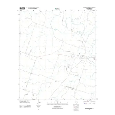
2012 Map of Gatesville West
USGS Topo · Published 2012About this map
The Leon River meanders through the central corridor of this Coryell County landscape, shaping a terrain defined by seasonal waterways and agricultural plateaus. To the south, the northern boundary of the Fort Hood Military Reservation establishes a significant federal footprint near Bald Knob, while the local infrastructure supports both aviation and education through the Gatesville Municipal Airport and the Coryell Cosmetology Coll. Rural life is etched into the map via a dense network of county roads, including the descriptively named Moccasin Bend Rd and Chicktown Rd. Genealogists may find value in the location of Hemelline Cem, situated west of the river. The landscape is further punctuated by small bodies of water like Walker Lake and Anchor Lake, which serve as vital landmarks in this predominantly rural Texas region.
Find a feature on this map
66 named features on this map. Tap any name to fly to it.
Don’t see what you’re looking for? This feature index may not catch every label — zoom into the map to look around manually.
Map Details
Editions of this 2012 Gatesville West Map
This is the sole edition of this map. No revisions or reprints were ever made.
Other maps of this area
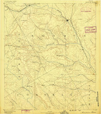
1888 · Meridian
USGS Topo · 1:125,000
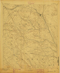
1894 · Meridian
USGS Topo · 1:125,000
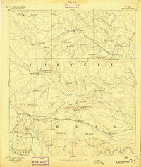
1894 · Gatesville
USGS Topo · 1:125,000
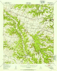
1947 · Purmela
USGS Topo · 1:62,500
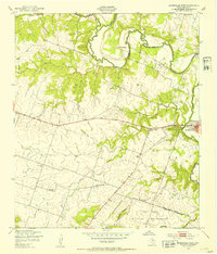
1947 · Gatesville West
USGS Topo · 1:24,000
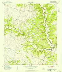
1947 · Pidcoke
USGS Topo · 1:24,000
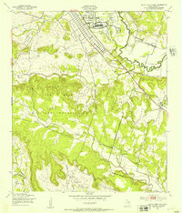
1947 · North Fort Hood
USGS Topo · 1:24,000
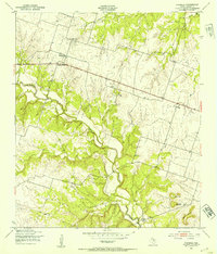
1947 · Purmela
USGS Topo · 1:24,000
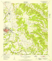
1947 · Gatesville East
USGS Topo · 1:24,000
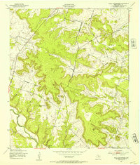
1947 · Shell Mountains
USGS Topo · 1:24,000