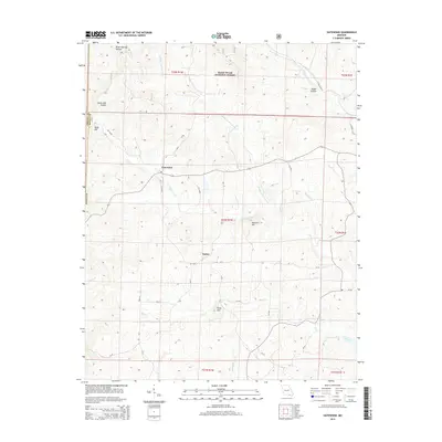
2015 Map of Gatewood
USGS Topo · Published 2015About this map
Gatewood and Tucker serve as the primary human touchpoints in this section of the Ozark foothills, situated within the sprawling boundaries of the Mark Twain National Forest. The landscape is deeply incised by a complex network of waterways, most notably Fourche Cr and its various tributaries including the Middle Fork Fourche Cr and W Fork Fourche Cr. The terrain is characterized by a series of prominent rises and secluded hollows, such as Steam Mill Hollow and Rebel Hollow, which hint at the region's historical timber and homesteading activities.
Find a feature on this map
44 named features on this map. Tap any name to fly to it.
Don’t see what you’re looking for? This feature index may not catch every label — zoom into the map to look around manually.
Map Details
Editions of this 2015 Gatewood Map
This is the sole edition of this map. No revisions or reprints were ever made.
Other maps of this area

1935 · Reyno
USGS Topo · 1:62,500

1939 · Doniphan
USGS Topo · 1:62,500

1941 · Gatewood
USGS Topo · 1:62,500

1945 · Doniphan
USGS Topo · 1:62,500

1945 · Gatewood
USGS Topo · 1:62,500

1957 · Poplar Bluff
USGS Topo · 1:250,000

1959 · Poplar Bluff
USGS Topo · 1:250,000

1960 · Poplar Bluff
USGS Topo · 1:250,000
1965 · Riverton
USGS Topo · 1:24,000

1965 · Gatewood
USGS Topo · 1:24,000