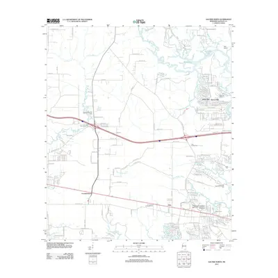
2012 Map of Gautier North
USGS Topo · Published 2012About this map
Old Fort Bayou and the Pascagoula River define the intricate marshland and riparian geography of this coastal Mississippi region. The landscape transition from the established settlement of Fountainebleau in the west toward the growing residential pockets of Martin Bluff and Hickory Hills in the east reveals a pattern of modern development interwoven with historical water-access points. Notable for genealogists and local historians, the Taylor Cem is located north of the Indian Point Recreational Vehicle Park, while the academic presence of the Jackson County Campus University of Southern Mississippi serves as a regional anchor. The interior is marked by significant natural drainage systems like Bluff Cr and Mary Walker Bayou, as well as local landmarks such as the Hilda Lookout Tower and the Hickory Hill Golf Course.
Find a feature on this map
183 named features on this map. Tap any name to fly to it.
Don’t see what you’re looking for? This feature index may not catch every label — zoom into the map to look around manually.
Map Details
Editions of this 2012 Gautier North Map
This is the sole edition of this map. No revisions or reprints were ever made.
Other maps of this area

1941 · Vancleave
USGS Topo · 1:62,500

1943 · Pascagoula
USGS Topo · 1:62,500

1943 · Vancleave
USGS Topo · 1:62,500

1944 · Vancleave
USGS Topo · 1:62,500

1953 · Mobile
USGS Topo · 1:250,000

1954 · Vestry
USGS Topo · 1:62,500

1954 · Ocean Springs
USGS Topo · 1:24,000

1954 · Deer Island
USGS Topo · 1:24,000

1954 · Biloxi
USGS Topo · 1:62,500

1955 · Pascagoula
USGS Topo · 1:62,500