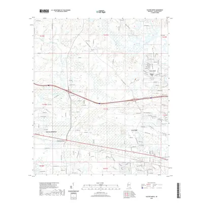
2020 Map of Gautier North
USGS Topo · Published 2020About this map
Mary Walker Bayou and its intricate surrounding wetlands dominate this coastal landscape just north of the Mississippi Sound. The area shows a transition from the established community of Ocean Springs in the west to the growing residential areas of Gautier and Hickory Hills in the east. Intersected by the CSX Transportation railroad and Interstate 10, the region preserves its maritime character through features like the Lighthouse and the winding reaches of Old Fort Bayou and Bluff Creek.
Find a feature on this map
151 named features on this map. Tap any name to fly to it.
Don’t see what you’re looking for? This feature index may not catch every label — zoom into the map to look around manually.
Map Details
Editions of this 2020 Gautier North Map
This is the sole edition of this map. No revisions or reprints were ever made.
Other maps of this area

1941 · Vancleave
USGS Topo · 1:62,500

1943 · Pascagoula
USGS Topo · 1:62,500

1943 · Vancleave
USGS Topo · 1:62,500

1944 · Vancleave
USGS Topo · 1:62,500

1953 · Mobile
USGS Topo · 1:250,000

1954 · Vestry
USGS Topo · 1:62,500

1954 · Ocean Springs
USGS Topo · 1:24,000

1954 · Deer Island
USGS Topo · 1:24,000

1954 · Biloxi
USGS Topo · 1:62,500

1955 · Pascagoula
USGS Topo · 1:62,500