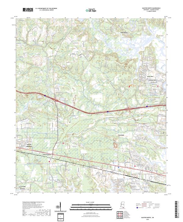
2024 Map of Gautier North
USGS Topo · Published 2024About this map
Mississippi Sandhill Crane National Wildlife Refuge dominates the landscape of Jackson County, preserving a complex network of wetlands and pine savannas between the growing communities of Gautier and Ocean Springs. The map illustrates the contemporary interface between these protected natural areas and suburban development, particularly around Martin Bluff and Hickory Hills. The intricate hydrology of the Gulf Coast is on full display, with the winding paths of Bluff Creek, Sioux Bayou, and Mary Walker Bayou defining the local geography. Significant landmarks include the Mississippi Gulf Coast Community College Jackson County Campus and the Taylor Cem near the banks of the West Pascagoula River. This modern survey traces the continued expansion of coastal settlements like Fountainebleau and Gulf Park Estates while highlighting the preservation of critical habitat within the Mscnwr boundaries.
Find a feature on this map
161 named features on this map. Tap any name to fly to it.
Don’t see what you’re looking for? This feature index may not catch every label — zoom into the map to look around manually.
Map Details
Editions of this 2024 Gautier North Map
This is the sole edition of this map. No revisions or reprints were ever made.
Other maps of this area

1941 · Vancleave
USGS Topo · 1:62,500

1943 · Pascagoula
USGS Topo · 1:62,500

1943 · Vancleave
USGS Topo · 1:62,500

1944 · Vancleave
USGS Topo · 1:62,500

1953 · Mobile
USGS Topo · 1:250,000

1954 · Vestry
USGS Topo · 1:62,500

1954 · Ocean Springs
USGS Topo · 1:24,000

1954 · Deer Island
USGS Topo · 1:24,000

1954 · Biloxi
USGS Topo · 1:62,500

1955 · Pascagoula
USGS Topo · 1:62,500